Viewing planets on Google Earth is not difficult. You can Google the solar system to learn more about our universe .
Google Maps has long been known as the smartest and most favorite navigation app on many people's mobile devices. It gives smart & really useful directions.
Even better, Google has offered some fascinating tools for exploring our world visually over the years, from satellite imagery to street shots of almost every corner of the Earth.
But now, Google Maps lets you boldly venture beyond the surface of our planet – and into space.
A recent feature that lets you explore other celestial bodies in the solar system and surprisingly few people know about it.
Amazingly high-resolution images of planetary surfaces, the inside of the International Space Station, and even Pluto's moons await you on Google Maps.
Curiosity has now been roving Mars for two years (Earth), and Google celebrated by releasing new maps of the moon and Mars. To get there, go anywhere on Earth in Google Maps, zoom out all the way, click the explore tab in the lower right corner, then click “Earth” in the lower left corner. Three orbit options will appear in the explore tab: Earth, Moon, and Mars.
Both the moon and Mars have plenty of labeled geographic features, but for information about landings on each planet, you’ll have to use Google Earth. Cute little flags mark landings by rovers and spacecraft; clicking on them provides basic information about the projects. Other markers open up to show images taken by rovers, orbiters, and missions.
From images sent back from satellites of NASA, ESA, and several other organizations, Google employees have collected and "patched" them together to create a complete work with high resolution.
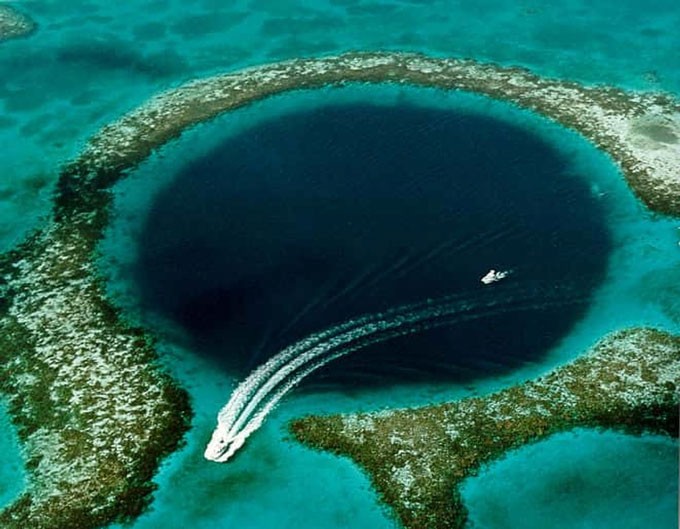
Image of the Moon viewed from Google Maps.
Thanks to this new service, curious Earthlings can zoom in and observe the surface, mountains, valleys in many different locations such as Jupiter's moon Io, Mimas, Saturn's Titan... even the International Space Station ISS, but places you have never seen before.
How to View Planets on Google Maps
First, go to the Google Maps website .
With Earth
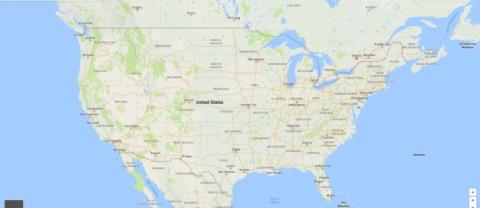
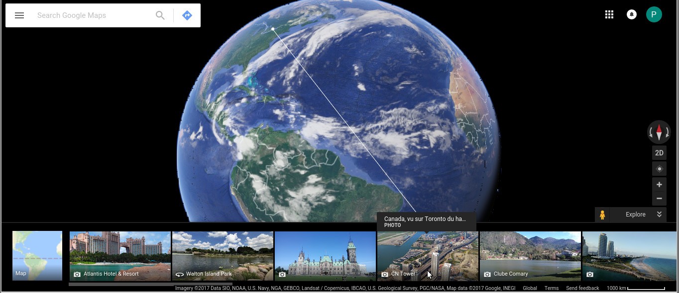
- Click the (+), (-) buttons at the bottom right of the screen to zoom in.
- Click on the double arrows on the bottom right and select landmarks. You will be able to “travel” in place to every famous landmark on Earth.
With other planets
- Click on the (-) sign repeatedly and you will see a list of planets that you can “visit”.
- Select any planet.
- Zoom in to observe and explore distant planets.

Curiosity has now been roving Mars for two years (Earth), and Google celebrated by releasing new maps of the moon and Mars. To get there, go anywhere on Earth in Google Maps, zoom out all the way, click the explore tab in the lower right corner, then click “Earth” in the lower left corner. Three orbit options will appear in the explore tab: Earth, Moon, and Mars.
Both the moon and Mars have plenty of labeled geographic features, but for information about landings on each planet, you’ll have to use Google Earth. Cute little flags mark landings by rovers and spacecraft; clicking on them provides basic information about the projects. Other markers open up to show images taken by rovers, orbiters, and missions.
